Many of the photographs were taken back in the direction I came from owing to the low sun.
 |
| 2km. Jessop Road, Stevenage. |
 |
| 3km. Durham Road. |
 |
| 4km. Great Ashby Way. Shared footpath/cycleway. |
 |
| 5km. Tilekiln Wood. The very edge of town. |
 |
| 6km. The house used to be a pub. |
 |
| 7km. Warrensgreen Lane. |
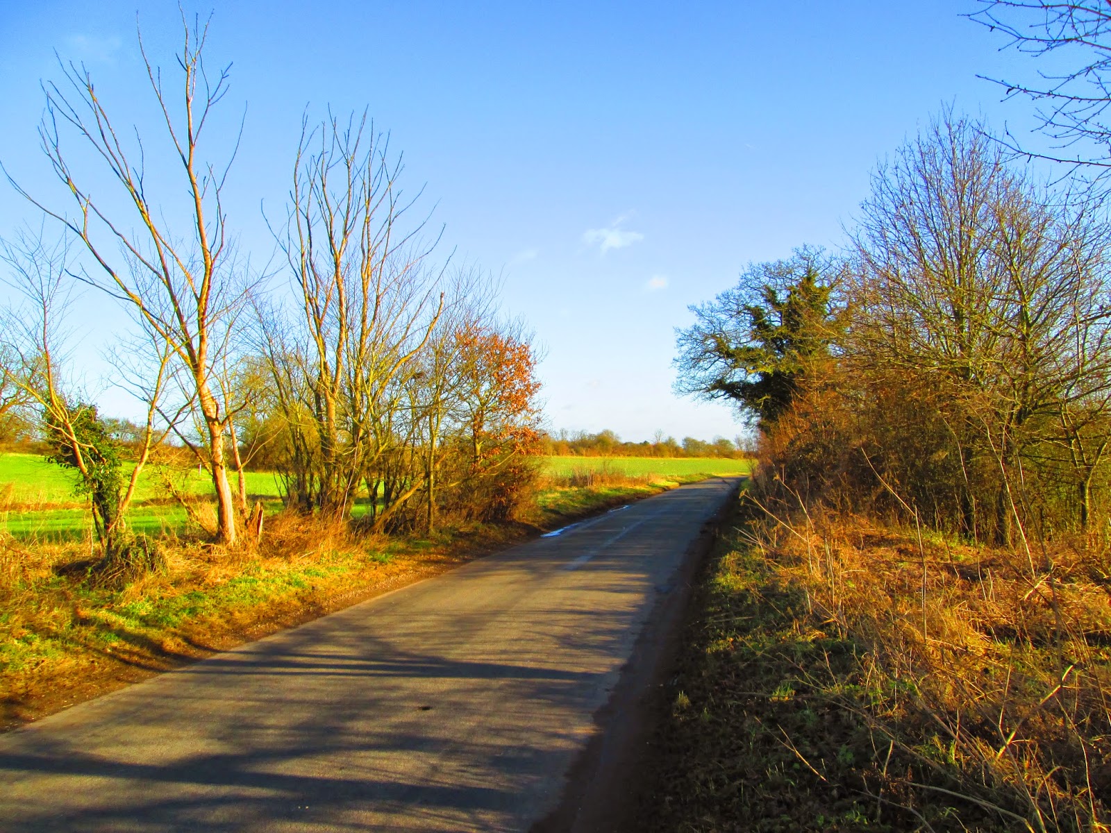
 |
| 8km. Dane End Lane. |
 |
| 9km. Dane End Lane. |
 |
| 10km. Between Halls Green and Weston. |
 |
| 11km. Between Halls Green and Weston. |
 |
| A Christmassy hedge at Weston. |
 |
| 12km. Weston School. |
 |
| 13km. Hatch Lane, leaving Weston. |
 |
| 14km. Hatch Lane further west. |

 |
| Two views over Letchworth from Hatch Lane. |
 |
| 15km. Looking north along the Great North Road. |
 |
| The old road from Weston to Willian. Out of use for forty years, yet a better surface than many Stevenage cycle-paths. |
 |
| 16km. Bridleway adjacent and parallel to the A1(M). |
 |
| 17km. Letchworh Greenway. |
 |
| 18km. Road to Roxley Court. |
 |
| 19km. Great North Way. |
 |
| 20km. Great North Way north of Graveley. |
 |
| 21km. Great North Way south of Graveley. |
 |
| 22km. Hitchin Road, Stevenage. |
 |
| A crap junction. It is necessary to look sharply over one's right shoulder while simultaneously using x-ray vision to see through the fence on the left. |
 |
| 23km. Franklins Road. Cycleway onto quiet road, then back onto cycleway. |
 |
| 24km. Lytton Way. |
 |
| 25km. The Great North Road has been replaced by the Tesco car park. |
 |
| 26km. Fairlands Way. 1.5km to home. |
No comments:
Post a Comment