I went for a ride today. After setting off I decided to record it by taking a photograph every kilometre. This is the result:
 |
| 1 km. Fairlands Way, Stevenage. |
 |
| 2km. At Fairlands Lakes, Stevenage. |
 |
| 3km. Six Hills Way, Stevenage. Collens Wood to the right. |
 |
| 4km. Aston End. |
 |
| 5km. Bareleigh. Overlooking the Beane Valley. |
 |
| 6km. Watton turnpike, looking back towards Bareleigh. It is much steeper than it appears here. |
 |
| 7km. Further south along the Watton turnpike. |
 |
| 8km. Further south still. Near White Hall. |
 |
9km. The same road. Frogmore House may be glimpsed through the trees.
|
 |
10km. The A602, Watton by-pass.
|
 |
| 11km. Watton-at-Stone village pump. |

.jpg)

 |
Five views of Watton-at-Stone.
|
 |
12km. Field with horse-blanket. Watton-at-Stone.
|
 |
| 13km. Perrywood Lane. |
 |
14km. Perrywood Lane continued.
|
 |
| 15km. Bramfield Woods. |
 |
16km. Looking east from Bramfield Woods.
|
 |
17km. Queen Hoo Lane.
|

 |
Two photographs of Queen Hoo.
|
.jpg) |
18km. Hazy ahead over WGC, Hatfield and beyond.
|
 |
| 18km. Tewin Hill, looking back. |
 |
| 19km. Tewin. |
 |
| Tewin Orchard, HMWT Reserve. |
 |
20km. Tewin Orchard (the way out)
|
 |
| 21km. Burnham Green. |
 |
| Told you! |
 |
22km. Whitehorse Lane.
|
 |
| 23km. Whitehorse Lane, looking back. |
 |
| 24km. Datchworth Green, looking back. |
 |
| 25km. Brookbridge Lane, Datchworth. |
 |
| 26km. Datchworth church and mounting block. |
 |
| 27km. Top of Bragbury Lane looking over Stevenage. |
 |
| 28 and-a-bit km. (nowhere safe to stop on the hill). Hertford Loop bridge at Bragbury End. |
 |
| 29km. A602, Broadhall Way, Stevenage. |
 |
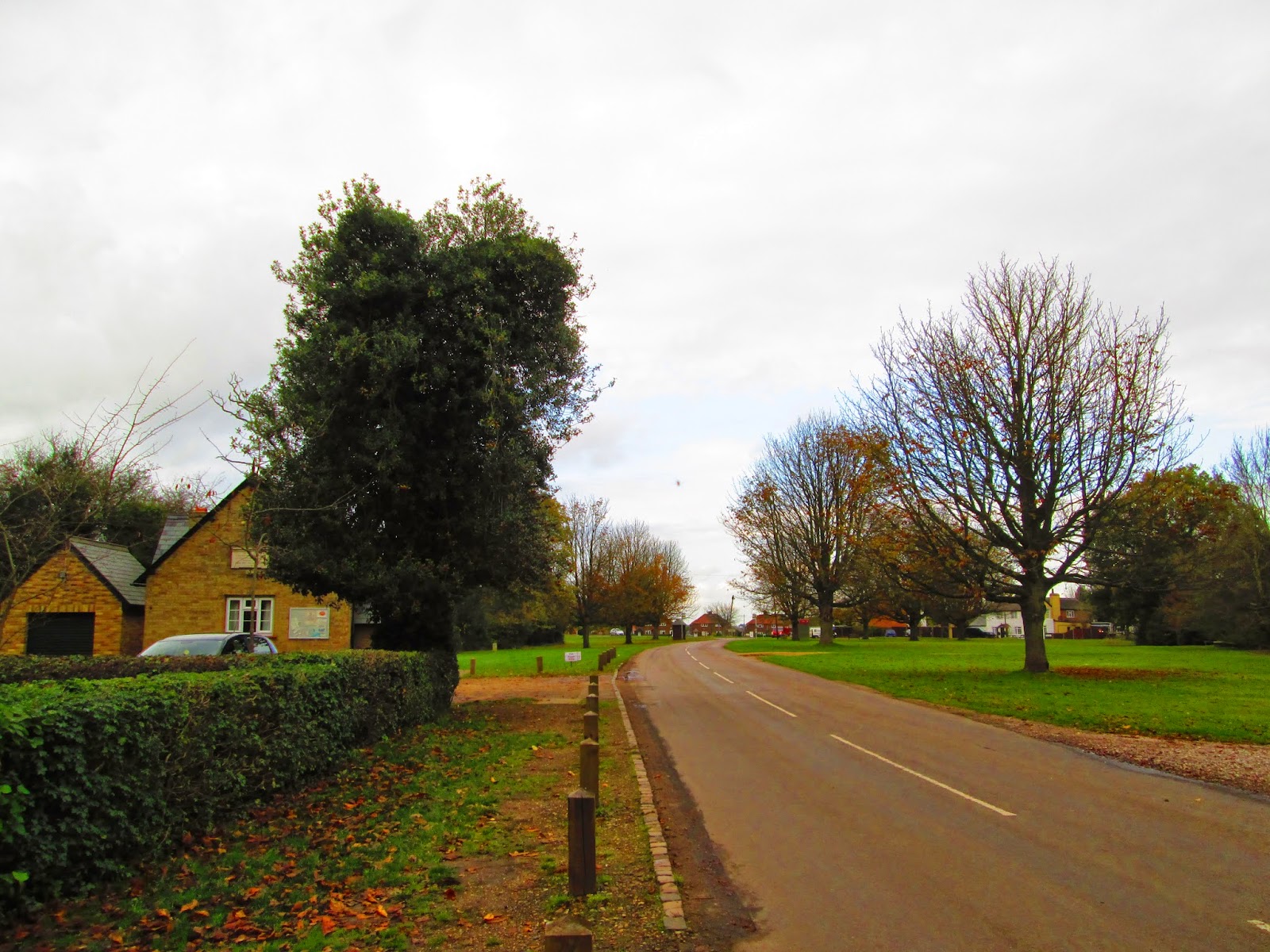
| 30km. As above. |
 |
| 31 km. Same road. Stevenage has some bad infrastructure. This is not it. |
 |
| 32km. Broadhall Way is a long road! |
 |
| 33km. Monkswood Way / Jennings Close. |
 |
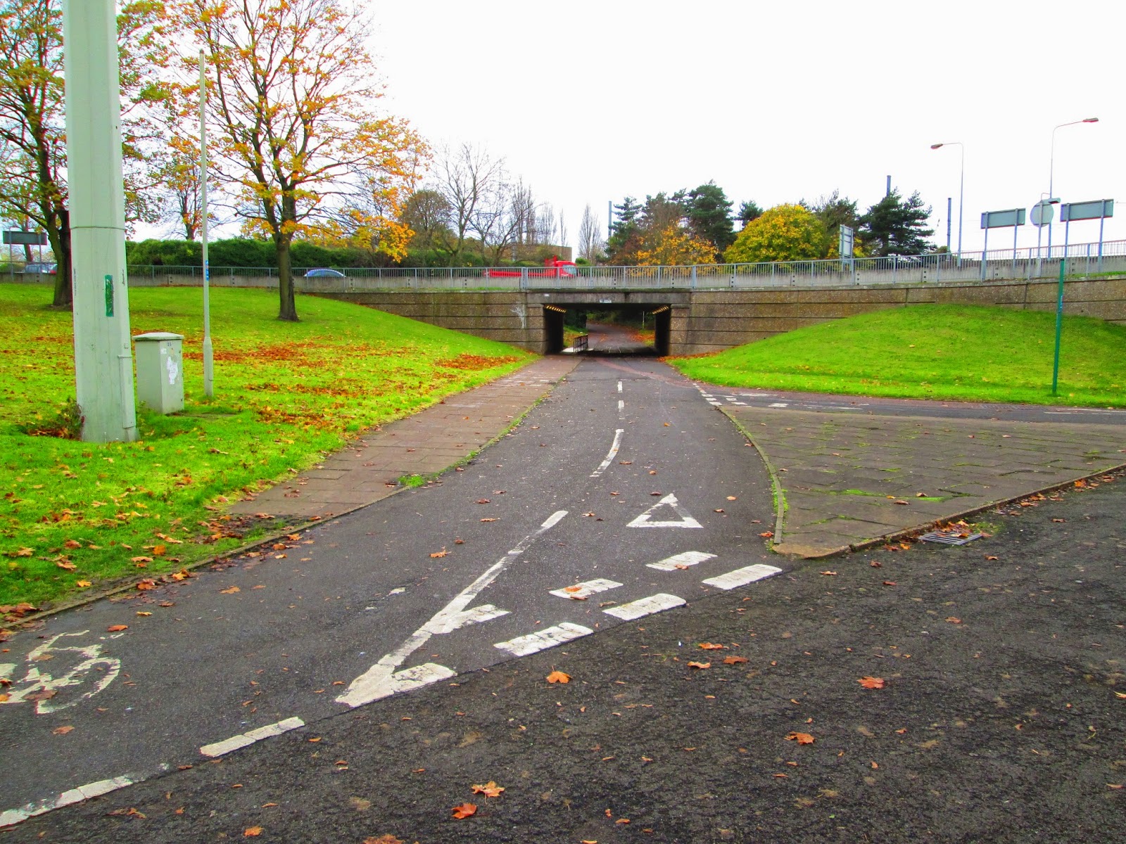
| 34km. Lytton Way / Six Hills Way junction. Grade separated. |
 |
| 35km. Lytton Way / Fairlands Way junction. Grade separated. |
.jpg) |
| 36km. Going back up Fairlands Way as at km1. Nearly home. |
 |
| 37km. Back at Bimble Towers. |


.jpg)


.jpg)


.jpg)


No comments:
Post a Comment